Queens Blvd. Mayoral Vision Zero
Great Streets Program Phase 1,2,3,4
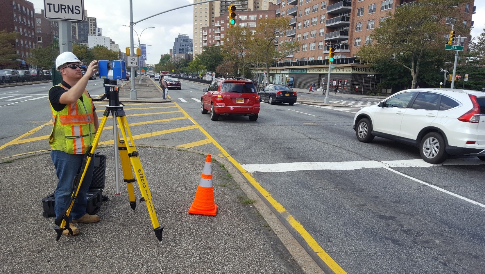
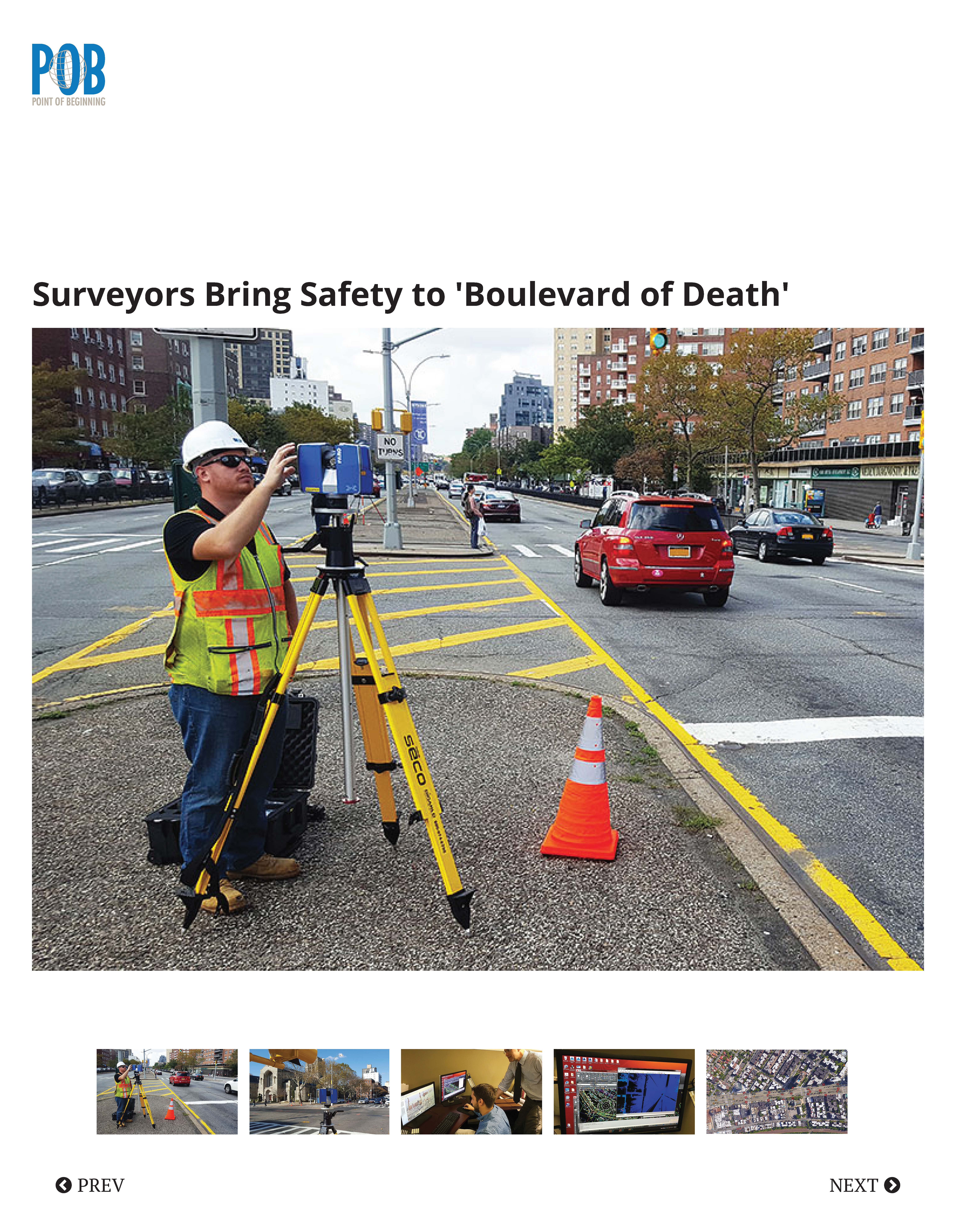
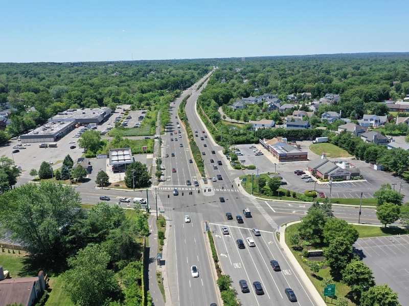
Project Location: Queens, New York
Client: NYC Department of Design and Construction
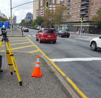
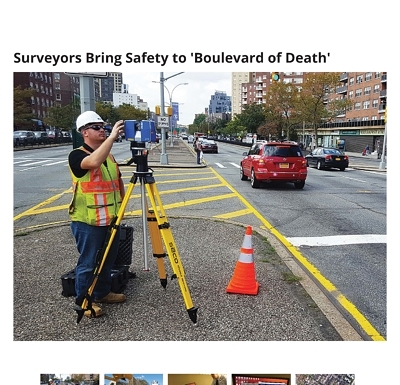
Transportation (NYCDOT) would commence work on a $100 million dollar Vision Zero project to redesign Queens Boulevard as a safe, livable corridor that will protect residents, connect neighborhoods and improve the borough’s quality of life. With the mayor pushing for his initiative, New York City Department of Design and Construction (NYCDDC) felt that they could deliver a quality product to NYCDOT in a very quick time frame. Knowing the urgency of the project, NYCDDC selected Nelson + Pope’s team from their pool of on-call contractors knowing we could perform the task on an accelerated delivery schedule which had never been achieved in the past.
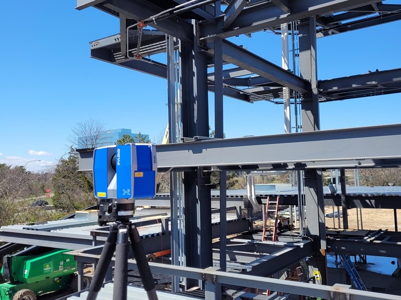
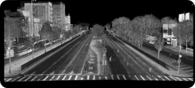
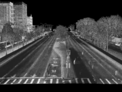
For safety purposes it was determined that the best choice for the project would be a combination of using conventional survey methods along with Mobile LiDAR and Terrestrial LiDAR for a total of 5.5 miles including a 3-lane roadway in each direction and 2 service roads. Phase 4 was performed solely with terrestrial LiDAR and it was confirmed that this was a safe and effective alternative to conventional techniques and Mobile LiDAR
The field survey provided for measurements of all above ground features combined with the location of the Right-Of-Way boundary and all underground utilities within 50 ‘ of the ROW as shown on the Final Map of NYC. In addition, the existing sewer system was shown in profile view showing actual invert measurements to all sewer manholes.
In addition to the above mapping, an inventory of all of the public irons (manholes, valves, etc.) within the ROW was catalogued. Each manhole, valve, traffic control box, etc. was located off of the centerline stationing and its condition was described. Data was presented in a booklet format for close to 1000 objects in phase 1 alone.
The office mapping would include very specific sets of plans for each portion of the roadway meeting NYCDOT specification including:
- Survey Control Plans with ties to all horizontal and vertical control to be used for future construction.
- Base Maps showing planimetric features, ROW mapping and detailed adjoining property information to be used for engineering design.
- Highway Profiles for each portion of roadway
- Topographic Plans with cross section elevations every 50′
- Underground Utility Plans and Sewer Profiles