Arthur Kill Terminal, Wind Turbine Assembly Port Facility
Project Location: Staten Island, New York
Client: TMS Waterfront Consulting Services
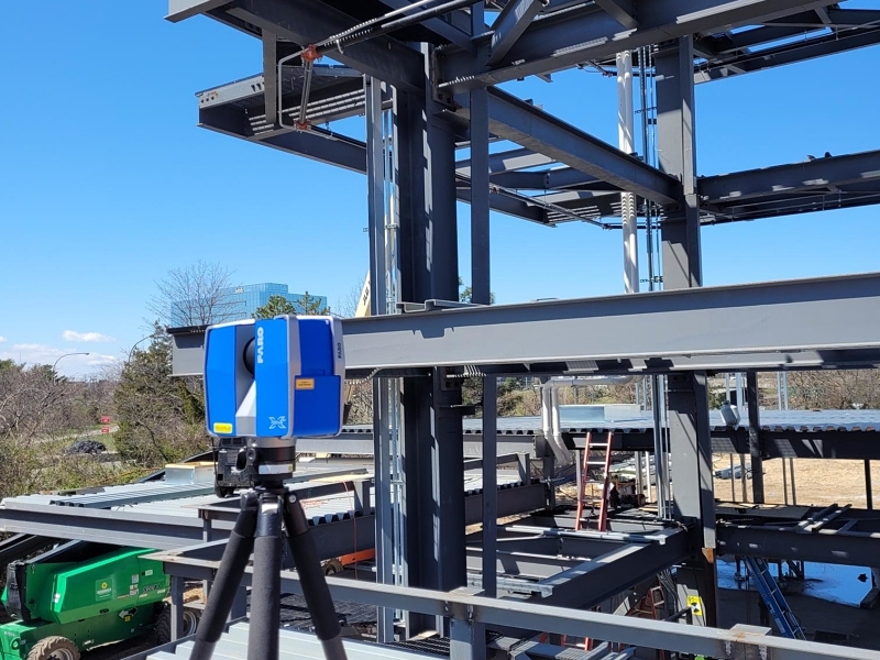
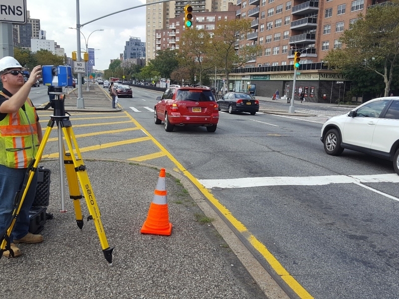
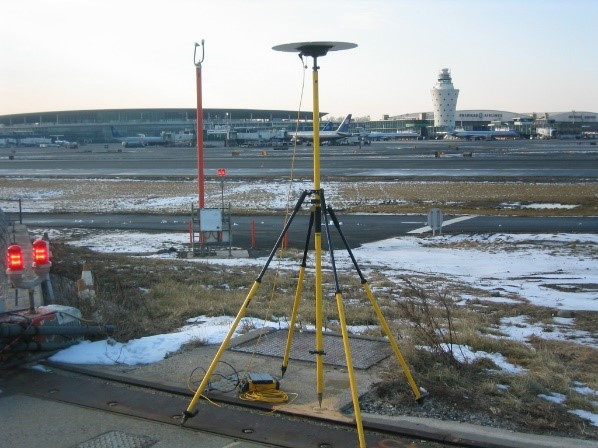
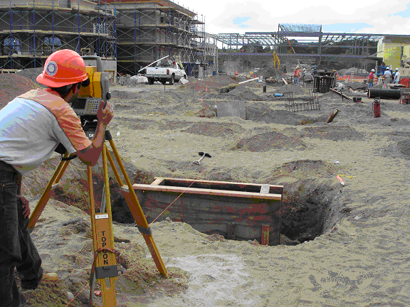
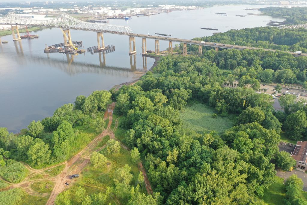
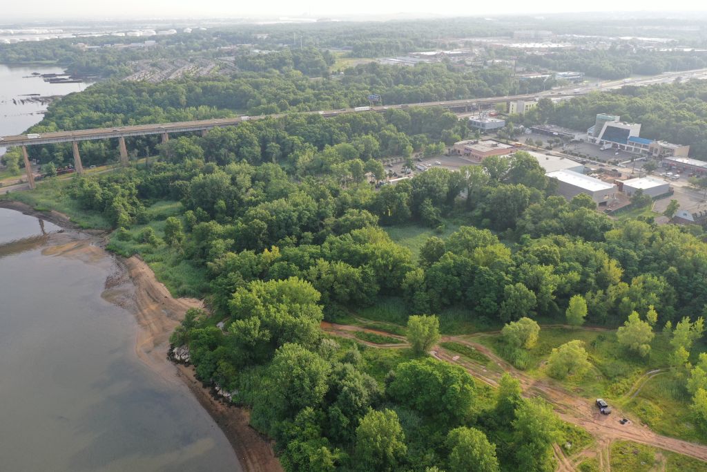
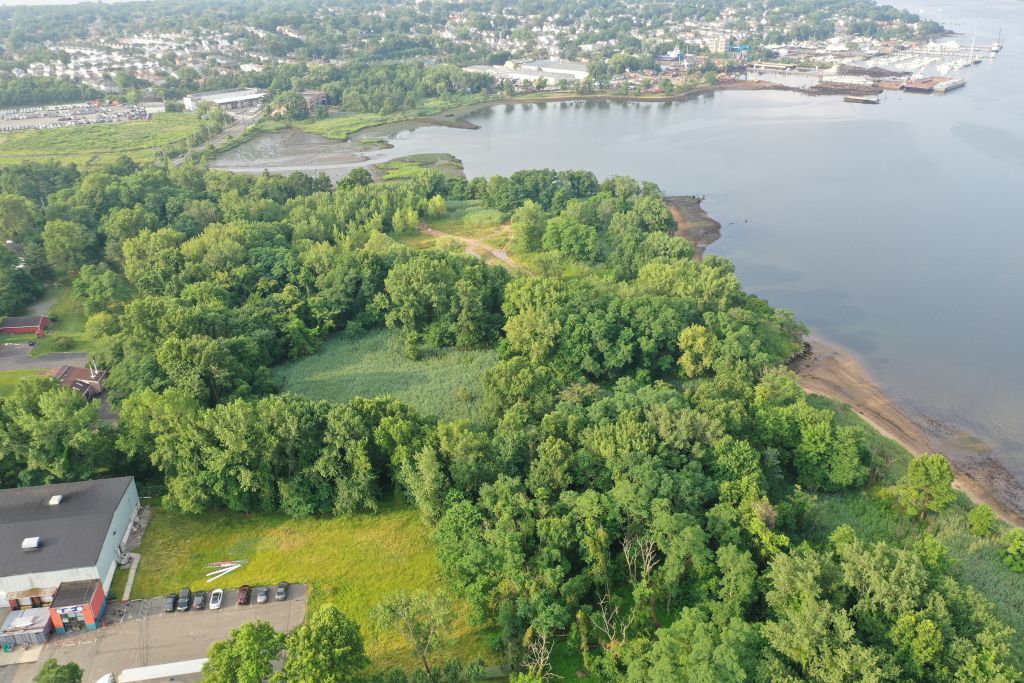
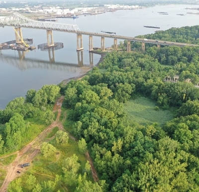
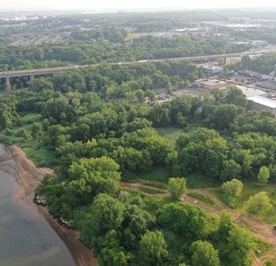
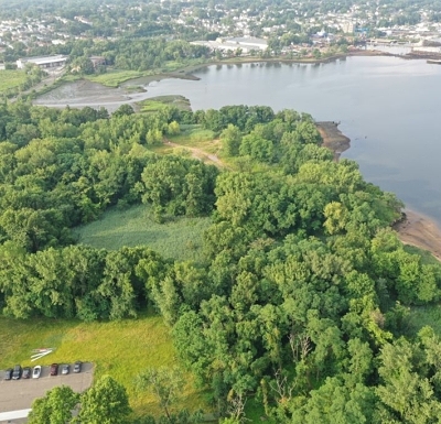
As lead consultant on this multitask project, Nelson + Pope performed Topographic Mapping, ALTA/NSPS survey, Hydrographic survey, and instituted Aerial Drone technology of 24 Acres and adjoining waterway in Richmond County Staten Island, NY. N+P provided for accurate boundary surveying for the ALTA/NSPS survey Land Title Surveys, including Table A items 1, 2, 3, 4, 5, 6(a), 6(b), 8, 9, 11, 13, 16, 17, 18 and 20 (“2016 Minimum Standards”). A full survey of property was performed out to the USACE Federal Channel including the NY Harbor Pierhead and Bulkhead lines, utilizing robotic total stations combined with RTK GPS measurement of the boundary and all topographical physical features including defining stream extents. Aerial drone technology was used to collect ortho-imagery, properly geo referenced for the entire property, with at least 25 high quality aerial plan and isometric photos. A digital level with invar rod was used for vertical control while GPS was utilized to control the traverse network. All measurements where prepared for the engineering design base mapping for a proposed Wind Turbine Assembly Facility. Hydrographic surveying was performed conventionally as it over lapped and verified the survey subconsultant work which included multibeam survey, sub-bottom profile, side scan sonar and magnetometer survey. Work was performed quickly on schedule, and mapping was delivered using the required latest release AutoCAD while meeting all environmental and health safety requirements
Relevant Project Components:
- Topographic Survey and Mapping
- Property Line Investigation
- ALTA/NSPS survey
- Hydrographic survey
- Drone Technology