LaGuardia Airport VOR/DME Facility

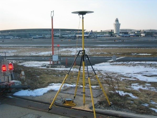
Project Location: Queens, New York
Client: NYC Dept of Design and Construction
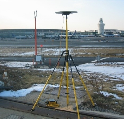
As a multi-agency project involving United States Dept of Transportation, Federal Aviation Administration and NYC Dept of Design and Construction, Nelson + Pope was a subconsultant selected to provide a high accuracy location survey, and subsequent high accuracy staking of the VOR/DME structure (VHF Omni-Directional Radio-Range/Distance-Measuring Equipment) which guides the aircraft to the runway. During the staking process N+P was required to obtain “True North” (Geodetic North) for the Doppler Antenna Counterpoise structure.
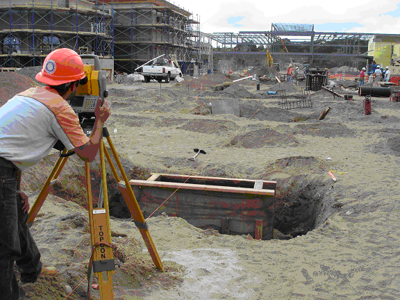
The survey equipment used for the initial survey measurements were dual frequency Trimble GPS receivers with ground plane. A latitude and longitude in NAD 83 and an elevation in NAVD88 was computed using the National Geodetic Survey (NGS) On-line Positioning Service (OPUS) to create positional coordinates and compare them to Primary Airport Control Stations for each set point. The GPS derived heights and baselines were post processed using Trimble Geomatics Office. The NAD 83 positional coordinates were converted from a geodetic value to a NY state plane coordinate grid value in NY East Zone. From these computed points we conventionally staked, with a Trimble Robotic Total Station, the center of the counterpoise structure at the requested longitude, latitude, and height as required. From the center point we calculated the convergence angle from New York state Plane Coordinate grid north to geodetic north (True North) using U.S. Army Corp. of Engineers (CORPSCON) Corps of Engineers Coordinate Conversion Program. This convergence angle was measured, and a nail was set to aid in the construction of aligning the centerline of the antenna to True North. 100% of survey project was performed by N+P staff.
Relevant Project Components:
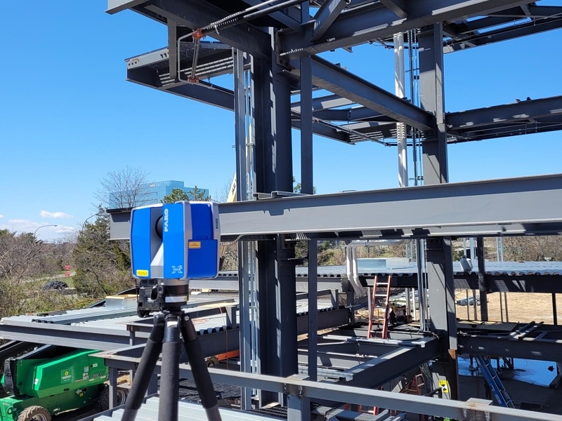
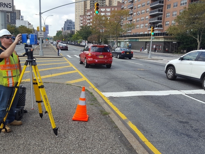
- High accuracy GPS Network Control
- Topographic Survey and Mapping
- Construction Layout
- Construction Plans & Specifications
- Hydrographic Survey